Directions
IMPORTANT CAUTIONS
Regarding GPS Applications
If you do not have WAZE installed and readily available for use on your visit, we suggest that you read and print out the detailed directions provided below and to be on the safe side, we recommend that you contact Kimberly Benson, the FWC General Manager, at 304-261-7956 or Center@FriendsWilderness.org so that she may offer you the best directions from your point of departure and give you verbal or written guidance all the way to the Niles Cabin.
For those with GPS, who want to risk trusting your application, here are the Niles Cabin coordinates:
LAT: 39.157827 LONG: 77.843409
Regarding Cars with low clearance/short wheelbase
Night Driving
Route 9 Shenandoah River Bridge
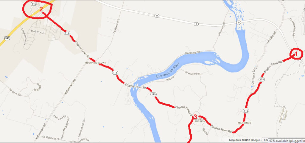
Online maps such as Mapquest and Google Maps have finally gotten their maps of the roads leading to FWC updated to reflect the new Route 9 highway link over the new Shenandoah River bridge leading to Route 340 outside of Charlestown, WV. Where Route 9 and Route 115 (Charlestown Road) ran together to Mission Road in the past, now they are separately numbered and only Route 115 (Charlestown Road) runs past the turn-off for Mission Road. The following map shows this with (1) showing the left turn onto Route 115 for those coming from the East, (2) showing the exit for Route 115 from Route 340, and (3) showing the turn for Mission Road.
Directions
- From both directions, the turn from WV Route 115 (Charles Town Road, Old Route 9) onto Mission Road is well marked.
- From this turn, pay careful attention to your car’s trip meter or odometer.
- Go 6.4 miles and turn left onto a gravel road that is still Mission Road.
- Go one mile and turn right still on Mission Road.
- Go about 1/4 mile and make a sharp left turn onto Christ Church Road.
- Very shortly turn right onto Friends Way.
- After a short distance you will come to a “Y” where you have a choice of bearing right or going straight.
Bear right to continue to Niles Cabin. Shortly, at a sharp bend in the road you will drive through a usually shallow stream (Krishna Brook). Proceed slowly across the stream (shown below) and then up the hill and left around a corner to the Niles Cabin.
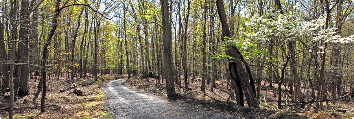
Go straight onto Friends Trail towards the Mongolian Yurt, the Tree House, and the Fire Circle. The Friends Trail is blaze-marked by blue plastic diamonds. In about 1/4 mile you will turn left onto Grand Boulevard. (DO NOT go straight.) Then take a right turn back onto Friends Trail. You will come to a small parking area. On the back left of this parking lot starts a trail blaze-marked with blue plastic ribbons. This leads you up to the Mongolian Yurt, Tree House, and Fire Circle. While you can walk straight up the dirt road, the trail to the left is easier. DO NOT try to drive up the dirt road.
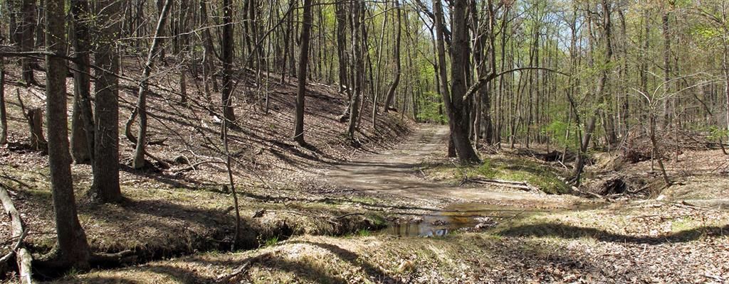
The above photo shows Friends Way where it crosses the shallow ford (aka ‘The Quaker Car Wash) at Krishna Brook. The Niles Cabin is up the hill and around the corner to the left. This ford may be safely and easily crossed by most cars except during or after downpours when the level and current may both be too high to cross safely.
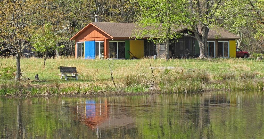
The above photo shows the Niles Cabin viewed from across the small pond behind the cabin in early April. You will arrive and park on the side of the cabin that is hidden in this picture.